Incidents
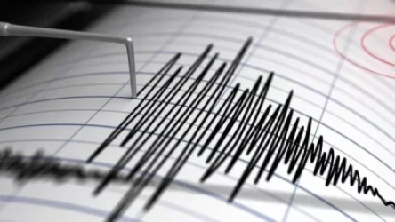
Earthquake in Armenia: What Was the Magnitude of the Tremors?
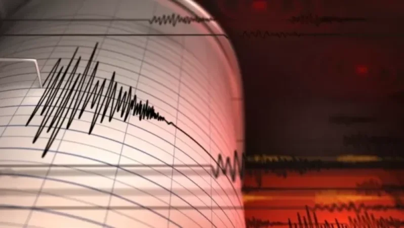
On July 5, at 00:33 local time (20:33 GMT on July 4), an earthquake was recorded by the Seismic Protection Territorial Service of the Ministry of Emergency Situations of Armenia. The coordinates were 41.04° North latitude and 43.99° East longitude, occurring 11 km east of the village of Ashotzk, at a depth of 10 km, with a magnitude of 2.4.
The intensity of the underground tremors in the epicentral zone was measured at 3 on the Richter scale.
Նմանատիպ հոդվածներ


Ավելին Incidents բաժնից

Ուսուցչուհին ծեծել է աշակերտներին, ասեղով ծակել երեխաների մատները, քաշել մազերը

Արմավիրում մասշտաբային խուզարկություններ․ առգրավվել են՝ օդաճնշիչ հրացաններ, զինամթերք և թմրանյութեր
Ուժգին երկրաշարժ` Իտալիայում