Incidents
Earthquake Recorded in Gegharkunik
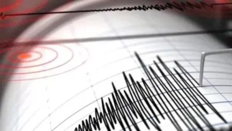
On January 14, at 18:04 local time (14:04 GMT), an earthquake was registered by the Seismic Protection Territorial Service of the Ministry of Emergency Situations of Armenia. The geographical coordinates were 40.50° north latitude and 45.31° east longitude, taking place 3 km east of the village of Shorja in the Gegharkunik region, at a depth of 10 km, with a magnitude of 2.5.
The intensity of the underground tremors in the epicentral zone was recorded at 3 points. The earthquake was felt in the villages of Shorja and Artanish in the Gegharkunik region with an intensity of 3 points.
Նմանատիպ հոդվածներ

Video: Car Crashes into Gas Pipeline in Yerevan, Explodes – Details

The 'Krik's Boy from Kond' Secretly Monitored Law Enforcement Movement in Yerevan with a Radio

Electric Pole Down on Agvani-Tatev Road
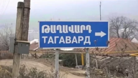
Shots Fired from Azerbaijani Position Towards Taghavard Residential Area; Artsakh Investigative Committee Initiates Case
Ավելին Incidents բաժնից

Նոր աղմկահարույց մանրամասներ՝ մահացած զինծառայողի դեպքի վերաբերյալ
2.0

Փրկարարները Երևանում վնասված բազե են փրկել

ՌԴ-ում Wildberries-ի ևս երկու լոգիստիկ կենտրոն է այրվում, կան տուժածներ