Society
Photo: Where Do You See Azerbaijani Enclaves or Highways Passing Through Neighboring Republics on This Map?

A Telegram channel has published a map of the Armenian SSR and added the following commentary: “This is a map of the Armenian SSR at the time of the creation of the USSR. Where do you see the Azerbaijani enclaves or highways passing through neighboring republics on this image? On the map, even Artsvashen is not an enclave, but has a direct connection with Armenia. In this map, the Armenian SSR has a direct link even to the Nagorno-Karabakh Autonomous Region.”

Նմանատիպ հոդվածներ
Ministry of Defense Comments on Border Incident in Tavush Region

Photos: Azerbaijani Forces Open Fire Targeting Peaceful Settlements Near Shushi, Says Artsakh Ombudsman

Defense Ministry Denies Reports of Attack by Two Armenian Soldiers on Azerbaijani Soldier
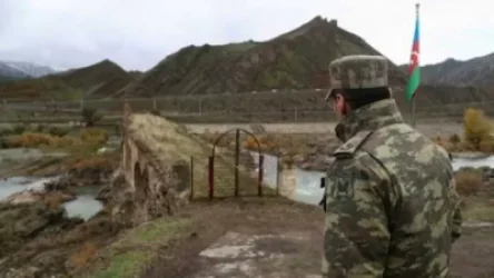
Russian Border Guards Have Encircled Azerbaijani Soldiers in Syunik
Ավելին Society բաժնից

Ալեն Ղևոնդյանին արգելվել է հրապարակումներ անել և հավաքների մասնակցել

Բացառիկ պատմական արժեք ներկայացնող նվիրատվություն՝ Մատենադարանին
5.0
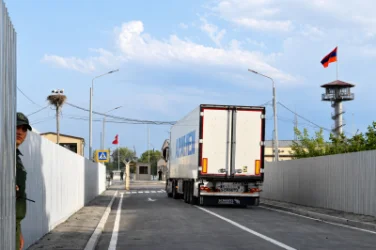
Մարգարայի անցակետում ուշագրավ զարգացում է արձանագրվել