Azerbaijanis Establish Presence on Mountain Peak Northeast of Kut Village
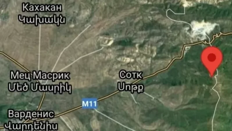
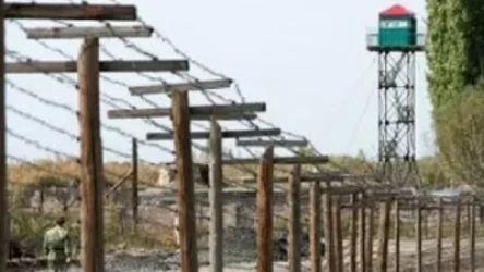
Social media users from Azerbaijan have shared another video from the eastern border section of the Gegharkunik region. The location of the video reveals that it was taken from a mountain peak approximately 6 km northeast of Kut village. This information is reported by Razminfo.
“Social media users from Azerbaijan have shared another video from the eastern border section of the Gegharkunik region. The location of the video reveals that it was taken from a mountain peak approximately 6 km northeast of Kut village. The coordinates are: 40.18924486527808, 45.96873917393403. In this area, the border line between the Gegharkunik region and the Azerbaijani-occupied Karvachar region passes along the tops of the heights, and the Azerbaijani side has occupied the peak area, thus securing its presence in this section first. If the Armenian side had taken steps to occupy the height first, today it would have been under our control instead of that of the Azerbaijanis.”
[e71a81cb75ae1cb40f39f624dc02389c.jpg] [f3440f8d817073841074469618479b45.jpg] [d2a7d645394a94446066c8409054209b.jpg]
Նմանատիպ հոդվածներ
What Consequences Will the Handing Over of Tigranashen to Azerbaijan Have?
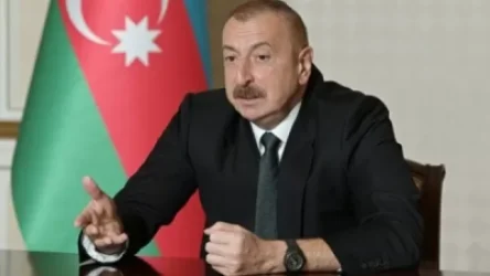
Ilham Aliyev: The term 'Azerbaijani' is considered the most horrifying insult in Armenian political vocabulary
Armenian Prisoners Transfer Video Messages to Their Families
160 Armenian Soldiers Are in Iran; Ministry of Defense Has No Comment
Ավելին Politics բաժնից

Ադրբեջանի տարածքային ամբողջականությունը ճանաչել ենք․ Փաշինյան

ԿԳՄՍ նախարարը՝ մինչև 16 տարեկան երեխաների մուտքը սոցիալական ցանցեր սահմանափակելու մասին

Հունաստանի կոպիտ արձագանքը՝ Թուրքիայի ընդունած նոր օրենքին