Incidents
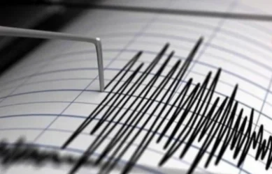
Earthquake in Armenia
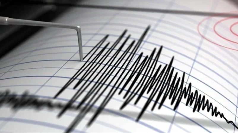
On August 10, at 15:47 local time (11:47 GMT), the Seismic Protection Territorial Service of the Ministry of Emergency Situations of Armenia registered an earthquake at geographic coordinates 40.18° North latitude and 45.25° East longitude, 6 km northwest of Martuni in the Gegharkunik region, at a depth of 10 km, with a magnitude of 2.1.
The intensity of the underground tremor in the epicentral area was reported to be 2-3 on the Richter scale. The quake was felt in the village of Tsakqar in the Gegharkunik region, with an intensity of 2.
Նմանատիպ հոդվածներ

Ավելին Incidents բաժնից

Ռուսաստանում ուսումնամարզական թռիչքի ժամանակ Սու-57 կործանիչ է կործանվել

Զինծառայողին անզգուշությամբ մահվան հասցնելու համար մեղադրվող 2 զինծառայողները կալանավորվել են. ՔԿ

Խոշոր հրդեհ Վարշավայում․ Ford-ի ավտոսրահն ամբողջությամբ այրվել է