Incidents
Earthquake Near Ashotsk Village: What We Know
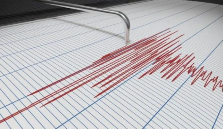
On April 7, 2024, at 18:31 local time (14:31 GMT), the Seismic Protection Territorial Service of the Armenian Ministry of Emergency Situations recorded an earthquake at geographic coordinates 40.95° north latitude and 44.06° east longitude, 19 km southeast of Ashotsk village, with a depth of 10 km and a magnitude of 2.9.
This information was reported by the Seismic Protection Territorial Service. The intensity of the underground shock in the epicentral zone reached 4 points.
The earthquake was felt in the Shirak region, particularly in the villages of Ashotsk, Musayelyan, Amasia, and Kakavasar with an intensity of 3 points, and in the Lori region, in the villages of Shirakamut and Saralanj with an intensity of 2-3 points.
Նմանատիպ հոդվածներ


Ավելին Incidents բաժնից

ԲԱՑԱՌԻԿ ՏԵՍԱՆՅՈՒԹ․ Կիլիկիայում հնչած կրակոցներն ու «ռազբորկան» տեսանկարահանվել է

Անչափահաս աղջիկներից մեկին սպառնալիքի միջոցով, ենթարկել է սեռական շահագործման․ նախաքննությունն ավարտվել է
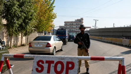
Մահապարտը պայթեցրել է իրեն. ահաբեկություն՝ Պակիստանում