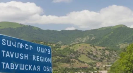
Red Becomes New Border: Losing 24 Combat Positions with 4 Villages, Political Scientist Publishes Map
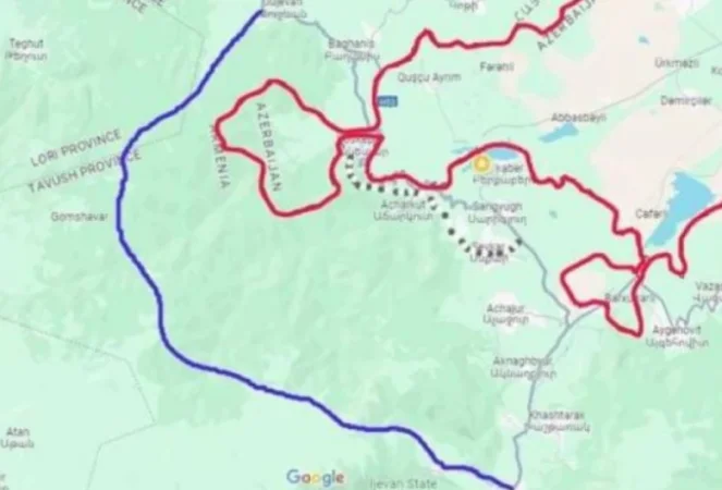
Political scientist Alen Gevondyan has published a map on his Facebook page, stating, "Blue represents the new Ijevan-Tbilisi road (through the mountains) which will be primarily closed. The red area in the image marks the new border. The Baghanis-Voskepar road will be closed. Berkaberd will be situated between two Azerbaijani villages, while the road to Ijevan will be under the control of the Azerbaijani armed forces. The roads to Kiranzi and Acharkuti will also be closed, forcing the construction of a new road. Voskepar will find itself in a very tenuous position, situated between two Azerbaijani villages and cut off by the road. The Aygehovith-Ijevan road will be closed. A new road is being constructed slowly. The road from Ijevan to Yenokavan, through the mountains and Jujevan, will face challenges. The Teghut community in Lori will become a border zone, just 8 km from the border. With 4 villages and 4 enclaves, we are losing 24 combat positions. To ensure a certain level of security for the internal territories, we will need about 38 combat positions, as the area has shrunk, but the contact line has expanded. Azerbaijan is getting a wide opening towards Lori and Kirovakan for liberation. This information has been conveyed to me by our cartographer and someone who knows the terrain well. Everything is quite clear and straightforward."
Նմանատիպ հոդվածներ
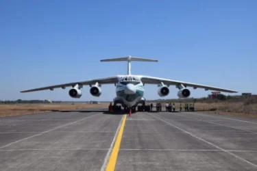
India to Create Air Corridor to Armenia

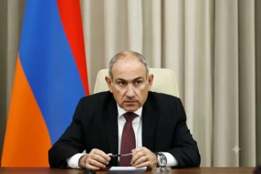
Pashinyan Says If We Don’t Give Up Villages, Turkey Will Attack from Armavir, Azerbaijan from Voskepar: Noyemberyan Leader
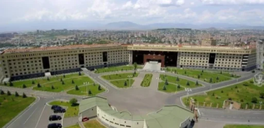
Armenian Ministry of Defense Statement on Border Situation
Village Names Are Not 'Azerbaijani': Iranologist Presents Evidence of Their Armenian Identity
Ավելին Politics բաժնից
Փաշինյանը մեկօրյա արձակուրդում է

Ինչու են խուզարկում Արեգնազ Մանուկյանի բնակարանը. պարզաբանում

Վարդան Ղուկասյանը տեղը չի գտնում. «Իրավունք»