Earthquake in Armenia
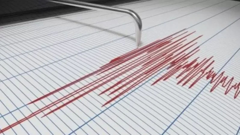
On June 17, at 5:09 AM local time (1:09 AM GMT), a 3.6 magnitude earthquake was registered by the Armenian Ministry of Emergency Situations' Seismic Protection Territorial Service. The epicenter was located at a geographical coordinate of 41.19° North latitude and 43.94° East longitude, in the border area between Georgia and Armenia, 14 kilometers northeast of the village of Bavra, at a depth of 10 kilometers.
The intensity of the underground tremor in the epicentral area was between 4-5 points on the Richter scale. The earthquake was felt in several areas, including Bavra, Saragyugh, Tavushut, Ghazanchi, Ashotsk, and Musaelyan in the Shirak region, with an intensity of 3-4 points, as well as in the town of Tashir with an intensity of 2-3 points.
Նմանատիպ հոդվածներ


Ավելին Incidents բաժնից

Ուսուցչուհին ծեծել է աշակերտներին, ասեղով ծակել երեխաների մատները, քաշել մազերը

Արմավիրում մասշտաբային խուզարկություններ․ առգրավվել են՝ օդաճնշիչ հրացաններ, զինամթերք և թմրանյութեր
Ուժգին երկրաշարժ` Իտալիայում