Earthquake in Armenia
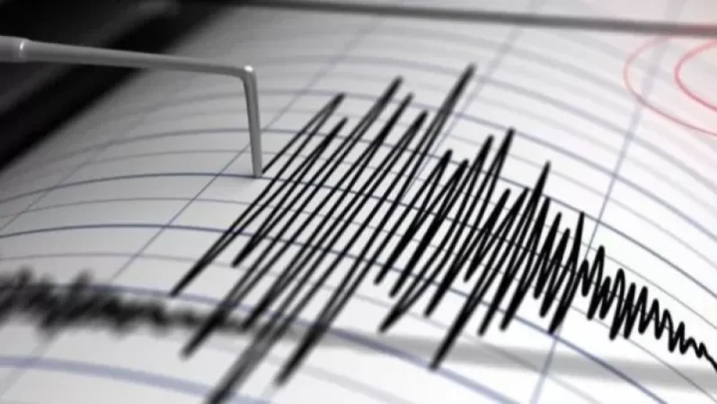
On March 23, at 21:10 local time (17:10 GMT), the seismic network of the Armenian Ministry of Emergency Situations registered an earthquake in the Armenia-Georgia border zone, 9 km east of the village of Bavra, at geographical coordinates 41.11° N latitude and 43.92° E longitude, with a focus depth of 10 km and a magnitude of 3.6. The intensity of the underground shaking in the epicentral area was 4-5 points.
The earthquake was felt in the Shirak region villages of Bavra, Saragyugh, Ashotzk, Sizavet, and Ghazanchi with a magnitude of 3 points, in the Lori region cities of Tashir, Alaverdi, Vanadzor, and the village of Paghaghbyur, as well as in the Tavush region towns of Ijevan and Noyemberyan, and in Gyumri city of the Shirak region with a magnitude of 2-3 points.
Նմանատիպ հոդվածներ


Ավելին Incidents բաժնից

Ռուսաստանի Wildberries-ի պահեստում հրդեհը մարվել է՝ չորս օր անց

Հուլիսի 21-ին զինծառայող է մահացել․ ՔԿ-ն քրեական վարույթ է նախաձեռնել
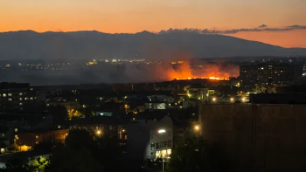
Խոշոր հրդեհ՝ Երևանում․ Աջափնյակի դատարանի հարակից տարածքում խոտածածկ տարածք է այրվում