Incidents
Earthquake 10 km Northeast of Tashir City, Felt in Mghdzavank, Paghaghbyur, and Sarchapet Villages

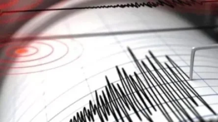
On November 16, at 22:43 local time (18:43 GMT), an earthquake was registered by the seismic protection territorial service of the Ministry of Emergency Situations of Armenia at geographical coordinates 41.20° N latitude and 44.35° E longitude, in the border zone between Armenia and Georgia, 10 km northeast of Tashir City, at a depth of 10 km, with a magnitude of 2.7.
The intensity of the underground tremors in the epicentral area was reported to be 3-4 on the Richter scale.
The earthquake was felt in Mghdzavank, Paghaghbyur, and Sarchapet villages of Lori Province with an intensity of 3, and in Noyemberyan city, Koghb, and Vahagnak villages of Tavush Province with an intensity of 2-3.
Նմանատիպ հոդվածներ


Ավելին Incidents բաժնից

Մահացած զինծառայողի դեպքով 2 զինծառայող է ձերբակալվել. ArmLur.am

Թուրքիայում խոշոր անտառային հրդեհ է բռնկվել․ տարհանվել են բնակիչներ
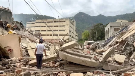
Վենեսուելայում տեղի ունեցած ավերիչ ցնցումների պատճառով զոհված քաղաքացիների քանակը հասել է 5,346-ի