Other
Earthquake 18 km Southeast of Martuni City. Magnitude Recorded at 3.0
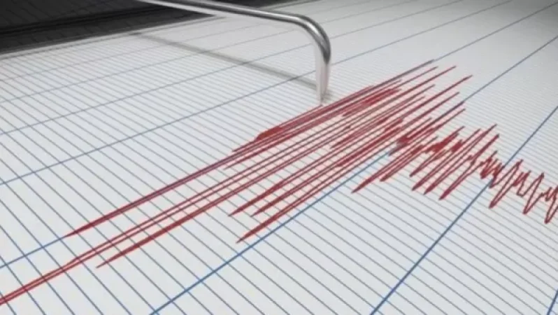
On May 1, at 08:18 local time (04:18 GMT), the Seismic Protection Territorial Service of the Ministry of Emergency Situations of Armenia recorded an earthquake at geographical coordinates 40.01°N latitude and 45.44°E longitude, 18 km southeast of Martuni city, at a depth of 10 km, with a magnitude of 2.3.
According to the Ministry of Emergency Situations, the intensity of the underground tremor in the epicentral zone was recorded at 3.0 magnitudes.
The earthquake was felt in the villages of Aghnjadzor, Artabuynk, Taratum, Hors, Sali, and Karaglukh in the Vayots Dzor province, with intensity between 2-3 magnitudes.
Նմանատիպ հոդվածներ




Ավելին Other բաժնից

20:00 Լուրերը մեկ տողով. Աջակցություն Գագիկ Ծառուկյանին և Արեգնազ Մանուկյանին, շոգի նոր ալիք Հայաստանում

19:00 Լուրերը մեկ տողով. Ռուս-ուկրաինական հակամարտության նոր զարգացումներ, Իրանը նախազգուշացրել է Իսրայելին

18:00 Լուրերը մեկ տողով. Ճամբարային սկանդալ, ծնողների բողոքները բժշկական ապահովագրությունից, դժբախտ պատահար գետում