Incidents
Earthquake 17 km Northeast of Bavra Village: Details
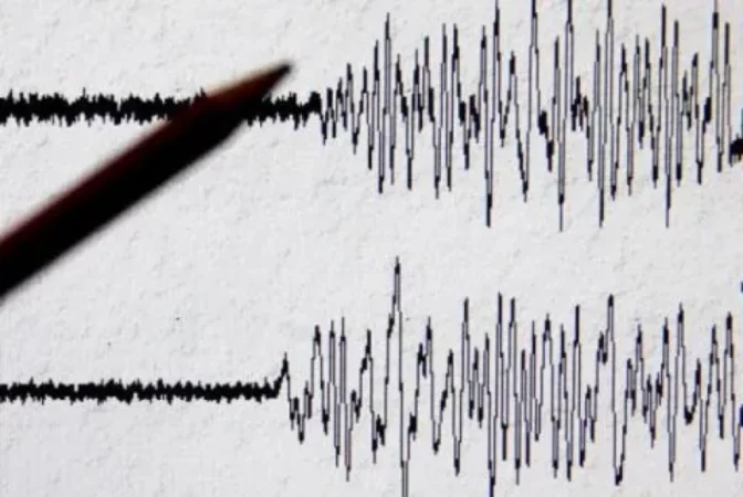
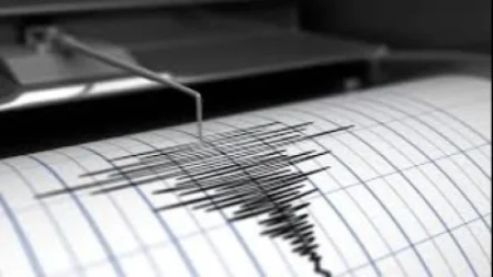
On July 7, at 22:05 local time (18:05 GMT), a 3.5 magnitude earthquake was recorded by the Seismic Protection Territorial Service of the Ministry of Internal Affairs of Armenia, occurring at geographical coordinates 41.19° N latitude and 43.98° E longitude, 17 km northeast of Bavra village, at a depth of 10 km. This information was reported by the rescue service of the Ministry of Internal Affairs of Armenia.
The intensity of the underground shock in the epicentral zone was measured at 4-5 points on the Richter scale. The earthquake was felt in the Shirak Province regions including Saragyugh, Bavra, Tavgushut, Ghazanchi, and Ashotzk, as well as in Sarchapet and Paghakhbyur villages of Lori Province with an intensity of 3-4 points.
Նմանատիպ հոդվածներ

Ավելին Incidents բաժնից

ՏԵՍԱՆՅՈՒԹ․ Հրկիզված մեքենաներ, թալանված խանութներ․ Փարիզում զանգվածային անկարգություններ են

Երթևեկությունը կսահմանափակվի՝ Աջափնյակ վարչական շրջանում

Առատ տեղումներ՝ կարկուտ և քամու ուժգնացում է սպասվում