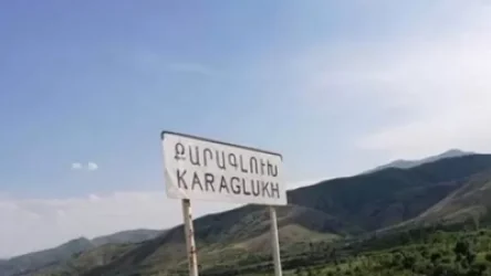
Positioning of Russian Forces in Parukh
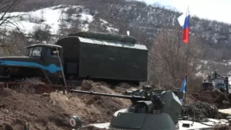
On the evening of March 28, the Telegram channel of the Russian peacekeeping force in Artsakh reported that in order to halt the advance of Azerbaijani armed forces in the village of Parukh, the command of the Russian peacekeeping mission decided to deploy reserve forces.
“On March 24, Azerbaijani armed forces crossed the line of contact near the village of Parukh, violating the first point of the trilateral statement. The commander of the Russian peacekeeping mission has decided to deploy reserve forces to prevent further advances of Azerbaijani troops. Currently, the settlement is under the control of the Russian peacekeeping mission,” the announcement stated, along with photographs.
An investigation by Media.am has confirmed that the photographs were indeed taken in Parukh. We verified this by comparing the images with satellite pictures:

This image shows one of the two main roads in Parukh, where vehicles of the Russian soldiers are stationed. Approximate coordinates: 40.01968185043133, 46.80540126339295.

From another image on Google Earth, we see four consecutive buildings, the first being brown and the others with white roofs, which match the buildings in the photographs.

We also identify the mountains visible in the southern part of the village, which correspond with the scenery shown in the photograph.
In addition to the photographs, a video titled “Parukh Village from a Drone” was widely circulated on another Telegram channel. According to the channel, the footage was taken by Russian peacekeepers.

For more details, visit the original source website.
Նմանատիպ հոդվածներ
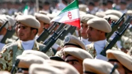
Any incursion into Armenian territory will be met with a response from our Armed Forces: Statement from Iran
ՀՐԱՏԱՊ. Ադրբեջանական կողմը իրականացրել է իր ստորաբաժանումների դուրսբերումը Փառուխից. ՌԴ ՊՆ
Իրավիճակը՝ Արցախում․ տեղեկատվական շտաբը հայտարարություն է տարածել
Former Tax Service Official's Assets and Years-Old Taped Recording
Ավելին Politics բաժնից
Ադրբեջանի տարածքային ամբողջականությունը ճանաչել ենք․ Փաշինյան
ԿԳՄՍ նախարարը՝ մինչև 16 տարեկան երեխաների մուտքը սոցիալական ցանցեր սահմանափակելու մասին
Հունաստանի կոպիտ արձագանքը՝ Թուրքիայի ընդունած նոր օրենքին