Earthquake 12 km Southeast of Kapan City: Ministry of Emergency Situations
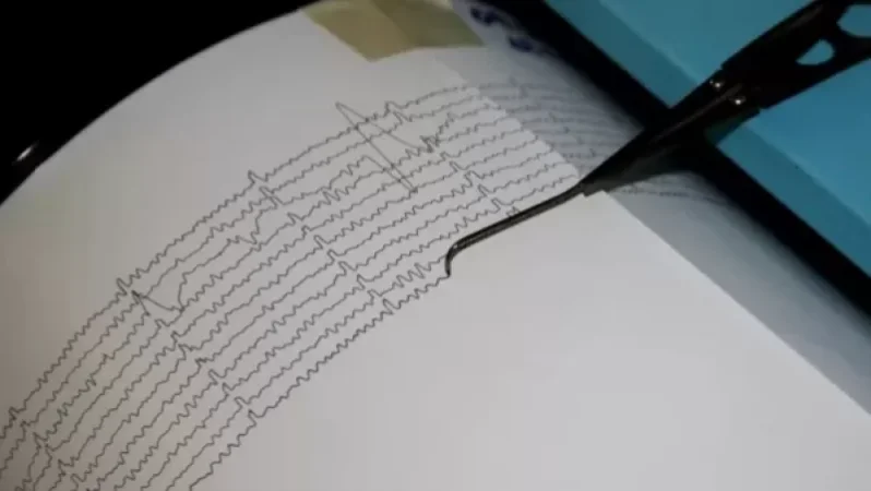
On January 16, at 07:25 local time (03:25 GMT), the seismic monitoring network of the Ministry of Emergency Situations of Armenia recorded an earthquake in the border area between Azerbaijan and Armenia, located 12 km southeast of Kapan city in the Syunik region at geographical coordinates 39.14°N latitude and 46.52°E longitude. The epicenter of the earthquake was at a depth of 10 km with a magnitude of 4.3.
The intensity of the ground shaking in the epicentral area reached 5-6 on the Richter scale. The earthquake was felt in Kapan city and several surrounding villages in the Syunik region with an intensity of 4-5, while in Vayots Dzor region, the cities of Vayk and Yeghegnadzor, as well as Stepanakert in the Republic of Artsakh, experienced intensities between 3-4.
Նմանատիպ հոդվածներ


Ավելին Society բաժնից

Ինչ է կատարվում Facebook-ի հետ. նոր մանրամասներ

Լայնածաված խափանումներ Facebook և Messnger հավելվածներում
Զովունիի ընկերությունից խոշոր հափշտակության գործի նոր զարգացումները. ՔԿ