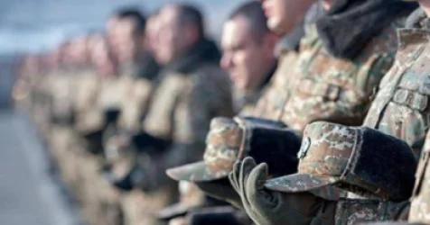
I Don't Want Us to Shut Our Eyes and Ears and Say We Notice Nothing: Pashinyan
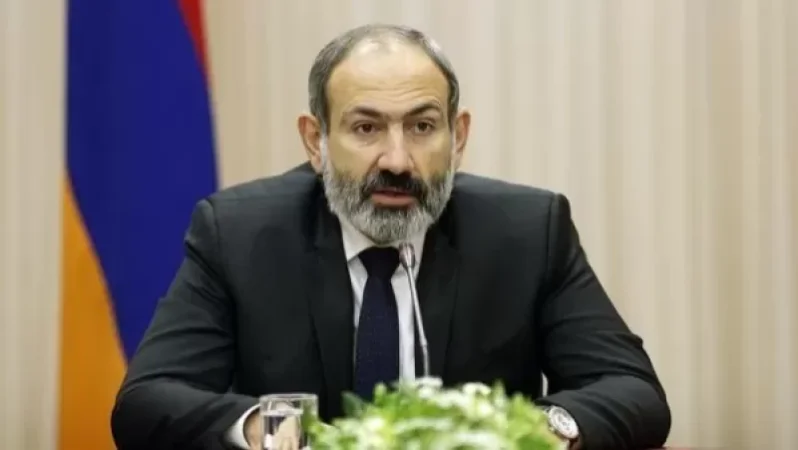
During an online press conference, Prime Minister Nikol Pashinyan was asked about the credibility of reports regarding the construction of an alternative road stretching through the mountains from Kiran to Voskepar, and what necessitates the construction of an alternative road in Tavush as well.
In response to the question, Pashinyan addressed the issues of border demarcation and delimitation, and the various maps from the Soviet era. “We are studying all the maps; we can see that there are maps where some of our existing roads are shown to be outside of the territory of Armenia according to the 1975 maps. And now we are looking at scenarios, discussing,” he said.
According to Pashinyan's comments on the 1975 map, a significant portion of the agricultural lands and plots of the villages of Berkaber, Vazashen, Paravakar, and Aygehovit in Tavush are under Azerbaijani control, and it is now being considered what issues might arise if the border is demarcated according to certain scenarios.
“We need to delve into the nuances of the situation, just as there was an issue with that small segment of the Goris-Kapan road. Essentially, it turned out that we could have lost access to that road. Now I am saying this in front of the screen, that in no case, not a single inch, etc., but I do not want to make the same mistakes that we might discuss later as whether we were right, wrong, avoidable, or unavoidable… I don’t want to shut my eyes and ears and say we notice nothing,” Pashinyan said.
He also noted that the Kiran-Voskepar alternative road will not traverse as described through the mountains. “There is no talk of mountainous terrain. Even if that issue arises, it concerns a few kilometers, sometimes even 500 or 300 meters, but we need to visualize the field. We cannot allow ourselves not to address the work that we need to engage in due to such questions,” Pashinyan stated.
Նմանատիպ հոդվածներ

All Requirements of the Minister's Order Remain in Effect: Ministry of Health

Prime Minister's Evaluations Are Extremely Dangerous for the Vital Rights and National Self-Determination of Armenians in Artsakh: Human Rights Defenders of Armenia and Artsakh
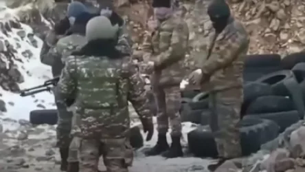
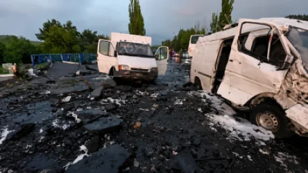
Arrested Azerbaijani Soldiers Returned to Azerbaijan through Russian Mediation
I Have Never Met Robert Kocharyan, Not Even by Chance: Marutyan
Ավելին Society բաժնից
Բանակից առողջության հիմքով ազատում են իրենց որդիներին. «Ժողովուրդ»
Ինչ իրավիճակ է փլուզումից հետո. նոր մանրամասներ
Կամրջի փլուզումից հետո մեկնարկել են վերականգնման աշխատանքները