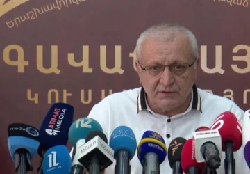
VIDEO: Armen Grigoryan Clarifies Which Map Is the Basis of the Armenia-Azerbaijan Border
Overall, there is rationality, and the logic of that rationality is based on the borders that existed during the Soviet era, and we proceed from that understanding. This was stated by the Secretary of the Security Council, Armen Grigoryan, during a press briefing with journalists after a government session, addressing the question of what basis they emphasize that Azerbaijan is placing customs posts in the section of the Goris-Kapan road that is theirs if delimitation and demarcation have not occurred.
“It is clear that we have not gone through the process of boundary demarcation and delimitation, but we have a rough understanding of the border, which is based on the maps from the 1920s. On the basis of that map, we imagine the border between Armenia and Azerbaijan, and to clarify it further, we have proposed to go through the processes of delimitation and demarcation,” he said.
When asked about how Armenian citizens will pass through the section of the Goris-Kapan road with Azerbaijani checkpoints, Armen Grigoryan stated that generally, that section of the road has a unique status, and Azerbaijan has not yet informed about the procedure.
“But the logic suggests that a fee may be charged, and citizens could potentially pass by paying; however, since we have an alternative route that has already been constructed, the Tatev-Kapan road has been completely renovated and opened, it is naturally more convenient for citizens to use that road,” he noted.
Նմանատիպ հոդվածներ
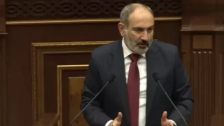
VIDEO. "In May, I announced that I am ready to sign the document; there is no secret about it" - Nikol Pashinyan
Video: "It's good that you are renovating the prisons, your future will definitely pass there," Mamikjanyan to Pashinyan
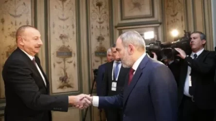
Erdogan States Aliyev Spoke with Pashinyan; Details Revealed
VIDEO: You are just showmen here. Argument during committee meeting, deputies left the hall
Ավելին Politics բաժնից

Փորձում են ճողոպրել Հայաստանից. պետության համը դեռ երկար է մնալու բերաններումդ. Չախոյան
ՏԵՍԱՆՅՈՒԹ. Իմ այցելությունը Վերին Լարս արգելված է. Նարեկ Կարապետյան
Միայն ապուշը կարող է այդպես մտածել. Սերժ Սարգսյան