The Armenian SSR Had a Border with Iran Not Only in Meghri but Also in Yeraskhavan, Says Iranologist Vardan Voskanyan

During the period from 1928 to 1991, approximately an area comparable to the current Vayots Dzor region was taken from Armenia. Interestingly, during the map creation period, the Armenian SSR had a border with Iran not only in Meghri but also in the Yeraskhavan area.
This was stated by Iranologist Vardan Voskanyan on his Facebook page, accompanied by a map.
“It is interesting to note that in the 1928 ‘Atlas of the USSR’ (Атлас Союза Советских Социалистических Республик, картоиздательство НКВД РСФСР, Москва, Изд. ЦИК СССР, 1928), the territory of Armenia was about 1500 square kilometers larger, while Azerbaijan’s was nearly equally smaller compared to the period of the collapse of the Soviet Union. This means that during the years from 1928 to 1991, approximately an area comparable to the current Vayots Dzor region was taken from Armenia. Moreover, it is noteworthy that during the map creation period, the Armenian SSR had a border with Iran not only in Meghri but also in the Yeraskhavan area. Attached is the map from the atlas of the Armenian SSR,” wrote Voskanyan.
Նմանատիպ հոդվածներ


Ավելին Politics բաժնից

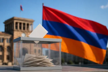
Ընտրական գործընթացի շուրջ նոր զարգացումներ կան
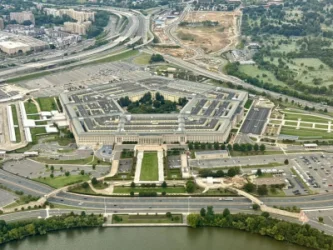
Պենտագոնի հարկերը փակվել են. մանրամասներ

Իրանում ռելսերից դուրս է եկել մարդատար գնացքը