Incidents
Earthquake 34 km Northeast of Nakhchivan City
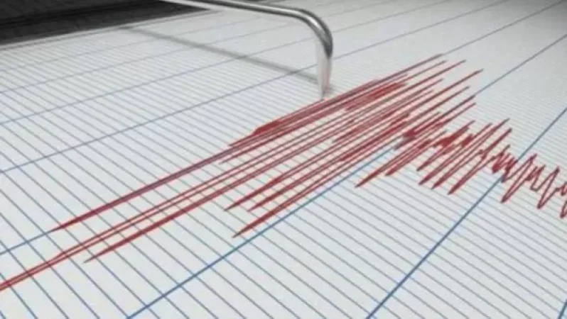
On January 23, at 17:22 local time (13:22 Greenwich Mean Time), the Seismic Protection Territorial Service of the RA Ministry of Emergency Situations recorded an earthquake with a magnitude of 4.3 at geographical coordinates 39.50° N latitude and 45.56° E longitude, located 34 km northeast of Nakhchivan City, in the border zone between Nakhchivan and Armenia. The earthquake's epicenter was at a depth of 10 km.
The intensity of the underground tremor in the epicentral zone reached 5-6 points. The earthquake was felt in the towns of Yeghegnadzor and Vayk in the Vayots Dzor Province with a magnitude of 3-4 points and in the village of Gorayk in Syunik Province with a magnitude of 3 points.
Նմանատիպ հոդվածներ


Ավելին Incidents բաժնից

ՌԴ-ում Wildberries-ի ևս երկու լոգիստիկ կենտրոն է այրվում, կան տուժածներ

Ռուսաստանի Wildberries-ի պահեստում հրդեհը մարվել է՝ չորս օր անց

Հուլիսի 21-ին զինծառայող է մահացել․ ՔԿ-ն քրեական վարույթ է նախաձեռնել