Incidents
2-3 Magnitude Earthquake Recorded 10 km Southeast of Spitak
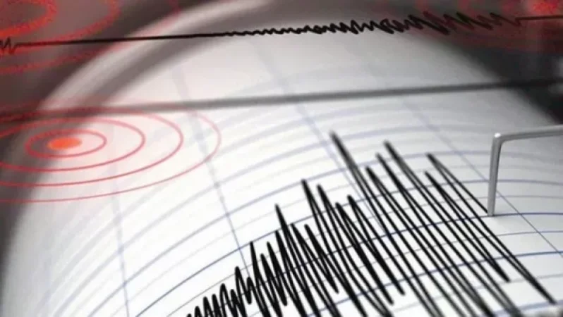
On January 30, at 07:17 local time (03:14 GMT), the Seismic Protection Territorial Service of the Ministry of Emergency Situations registered an earthquake at geographic coordinates 40.770° North latitude and 44.340° East longitude, 10 km southeast of Spitak, Armenia. The earthquake had a depth of 10 km and a magnitude of 2.2. The intensity of the tremor in the epicentral zone was recorded at 2-3 on the scale.
Նմանատիպ հոդվածներ

A Soldier Wounded in Artsakh, Condition Considered Critical

Earthquake in Azerbaijan Felt in Berd and Paravakar in Tavush Province

Two Armed Civilians Found After Crossing Razor Wire at Border Checkpoint in Armavir Region

Major Car Accident in Lori Province: 21-Year-Old Driver Crashes Mercedes into Tree, 5 Injured
Ավելին Incidents բաժնից

Արմավիրում մասշտաբային խուզարկություններ․ առգրավվել են՝ օդաճնշիչ հրացաններ, զինամթերք և թմրանյութեր
Ուժգին երկրաշարժ` Իտալիայում

ՏԵՍԱՆՅՈՒԹ․ Հրկիզված մեքենաներ, թալանված խանութներ․ Փարիզում զանգվածային անկարգություններ են