Incidents
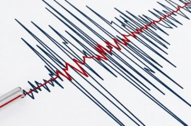
Earthquake 12 km East of Bavra Village in Shirak Province
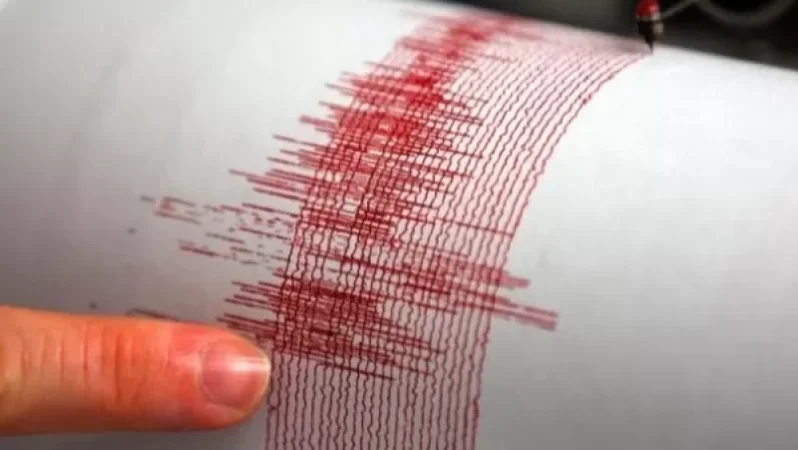
On September 14, at 17:06 local time (13:06 GMT), the seismic protection territorial service of the Ministry of Emergency Situations registered an earthquake at geographical coordinates of 41.110° N latitude and 43.940° E longitude, in the border area between Armenia and Georgia, 12 km east of Bavra village. The earthquake had a depth of 10 km and a magnitude of 2.8.
The intensity of the underground tremor in the epicentral zone was recorded as 3-4 points. The earthquake was felt in the village of P'okr Sepasar in Shirak Province with a magnitude of 3 points.
Նմանատիպ հոդվածներ


Ավելին Incidents բաժնից
Ուժգին երկրաշարժ` Իտալիայում

ՏԵՍԱՆՅՈՒԹ․ Հրկիզված մեքենաներ, թալանված խանութներ․ Փարիզում զանգվածային անկարգություններ են

Երթևեկությունը կսահմանափակվի՝ Աջափնյակ վարչական շրջանում