Incidents
Կարևոր
3.7 Magnitude Earthquake Registered 20 km Northwest of Martakert
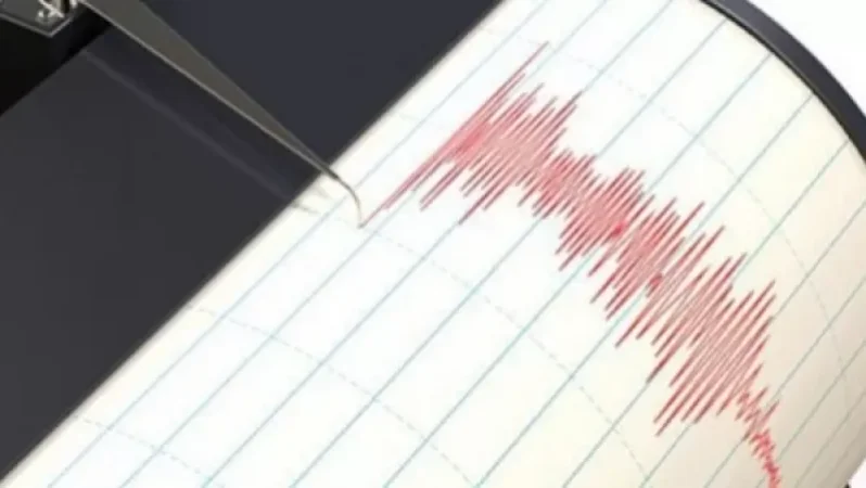
On August 22, at 09:41 local time (05:41 GMT), an earthquake of magnitude 3.7 was registered by the Seismic Protection Territorial Service of the Ministry of Emergency Situations of Armenia at geographical coordinates of 40.290 latitude and 46.600 longitude, 20 km northwest of the city of Martakert, with a depth of 10 km. The intensity of the underground tremor in the epicentral zone was measured at 5 on the Richter scale.
According to the information and public relations department of the Ministry of Emergency Situations of Armenia, the earthquake was felt in the cities of Goris, Novoberdo, Shushi, Karvachar, Martakert, and Stepanakert at an intensity of 3-4, and in the villages of Drembon and Haterk at an intensity of 4.
Նմանատիպ հոդվածներ

Massiv's Andik Killed by a 32-Year-Old Citizen of Grozny: Investigative Committee Reveals Details

Criminal Cases Regarding the Murder of Yuvetsi Karo and the Suicide of Karameli Harut Closed

Large Sum of Money Extorted from Russian Singer Mart Babayan of Armenian Descent

Wanted to Kidnap My Children and Take Them to Switzerland: Village Head Details
Ավելին Incidents բաժնից

ՏԵՍԱՆՅՈՒԹ․ Հրկիզված մեքենաներ, թալանված խանութներ․ Փարիզում զանգվածային անկարգություններ են

Երթևեկությունը կսահմանափակվի՝ Աջափնյակ վարչական շրջանում

Առատ տեղումներ՝ կարկուտ և քամու ուժգնացում է սպասվում