Incidents
Earthquake Registered Near Gavar
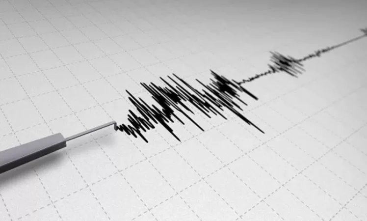
On March 14, at 09:51 local time (05:51 GMT), a 2.2 magnitude earthquake was recorded by the seismic network of the Ministry of Emergency Situations of Armenia at geographical coordinates 40.260° N latitude and 45.060° E longitude, located 12 km southwest of the city of Gavar in the Gegharkunik region, at a depth of 10 km.
This information was reported by the Ministry of Emergency Situations of Armenia. The intensity of the underground tremor in the epicenter was 2-3 points.
The earthquake was felt in the village of Gegharkunik at an intensity of 2-3 points.
Նմանատիպ հոդվածներ


Ավելին Incidents բաժնից

ՏԵՍԱՆՅՈՒԹ․ Հրկիզված մեքենաներ, թալանված խանութներ․ Փարիզում զանգվածային անկարգություններ են

Երթևեկությունը կսահմանափակվի՝ Աջափնյակ վարչական շրջանում

Առատ տեղումներ՝ կարկուտ և քամու ուժգնացում է սպասվում