Society
Կարևոր
Earthquake in Armenia – 8 km Northeast of Yerevan
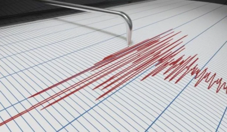
On April 13, at 17:10 local time (13:10 GMT), a seismic event was registered by the Seismic Protection Territorial Service of the Ministry of Internal Affairs of Armenia at coordinates 40.21°N latitude and 44.61°E longitude, located 8 km northeast of Yerevan, with a depth of 10 km, measuring 1.9 on the Richter scale.
The intensity of the underground tremor in the epicentral area was 2-3 points. The earthquake was felt in Yerevan, as well as in the villages of Garni and Dzoraghbyur, with an intensity of 2-3 points.
Նմանատիպ հոդվածներ

Soldiers Repair Their 'Ural' Trucks with Their Own Money, Says Mother of Accident Victim: 'Azatutyun'
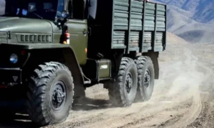
Mother of Accident Victim Says Son Was Behind Wheel of Ural, Brakes Didn't Work

New Details on the Health Status of Injured from the Ural Tragic Accident

Military Training Notifications to Become Public
Ավելին Society բաժնից

Անահիտ Մանասյանն անդրադարձել է կանանց իրավունքների մարտահրավերներին

Զինծառայողներ են զոհվել․ Հնդկաստանում ռազմական ինքնաթիռ է կործանվել

Արտակարգ դեպք․ Վեդիում 14–ամյա տղան հրազենային վնասվածքով տեղափոխվել է հիվանդանոց