A New Cyclone Will Approach Armenia, Expected to Bring Precipitation - Surenyan Shares Weather Details

According to the Hydro-Meteorological and Monitoring Center, a new cyclone is approaching Armenia. Speaking about the upcoming weather and the impact of this cyclone, the deputy director of the Center, Gagik Surenyan, said in an interview with ‘Haykakan Zhamanak’ that this is a fairly active cyclone originating from the Mediterranean Sea. He added, “When winter comes, is snow normal or abnormal?”
“It will remain in our republic until the morning of January 24. Besides the penetration of the cyclone from the northeast, beginning in the coming hours, Arctic cold air streams will also enter, leading to precipitation in the form of snow across the entire territory of the republic in the late evening hours and throughout the night and into tomorrow's day. In Yerevan, especially in higher altitude areas, it is forecasted that a snow cover of 10-15 cm will form in the coming day, with icy conditions on the roads,” he detailed.
Due to the influx of cold air currents, the air temperature is expected to decrease gradually by 7-9 degrees during the day on January 22, and by 14-16 degrees in Lori, Tavush, and Syunik. According to Surenyan, if the temperature drops, we will come closer to climate norms: “If the temperature decreases, in some way we will reach climate norms. At the moment, the temperature is 10-12 degrees above the climate norm.”
He noted that precipitation will cease on January 24, but another cyclone will arrive on January 27, which is also expected to bring precipitation.
Նմանատիպ հոդվածներ
Fare for Parakar-Yerevan Transport Increased by 50 Drams, Clarifications from the Regional Administration
Photos: Before and After the Occupation of Artsakh – Azerbaijanis Destroy Armenian Monuments
Opportunity to Not Use Vacation Days for Years No Longer Exists: Amendments to the Labor Code
Five Armed Azerbaijanis Steal Sheep from Aravus, Details Unveiled
Ավելին Society բաժնից
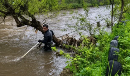
Գետն ընկած 7-ամյա և 13-ամյա քույրերին դեռ որոնում են

Համաշխարհային ավտոհսկան ընդլայնում է ներկայությունը Հայաստանում

Ֆրանսիական պաշտպանական հսկան ռազմավարական գործընկերություն կսկսի հայկական ընկերության հետ