Incidents
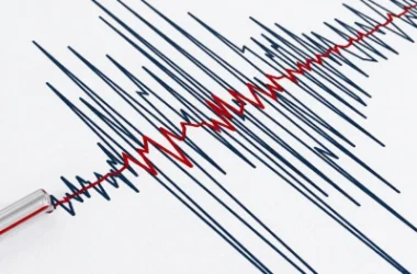
Earthquake 13 km Southwest of Chambarak in Tsovagyugh
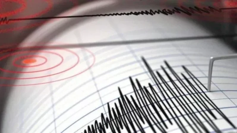
On June 30, at 14:33 local time (10:33 GMT), a seismic event was recorded by the Armenian Ministry of Emergency Situations' Seismic Protection Territorial Service's seismic network. The earthquake occurred at coordinates 40.55° N latitude and 45.20° E longitude, approximately 13 km southwest of the city of Chambarak, at a depth of 10 km, with a magnitude of 2.8.
The intensity of the underground tremor in the epicentral area was measured between 3 to 4 on the Richter scale. The earthquake was felt in the village of Tsovagyugh with an intensity of 2 to 3.
Նմանատիպ հոդվածներ


Ավելին Incidents բաժնից
Ուսուցչուհին ծեծել է աշակերտներին, ասեղով ծակել երեխաների մատները, քաշել մազերը
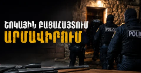
Արմավիրում մասշտաբային խուզարկություններ․ առգրավվել են՝ օդաճնշիչ հրացաններ, զինամթերք և թմրանյութեր
Ուժգին երկրաշարժ` Իտալիայում