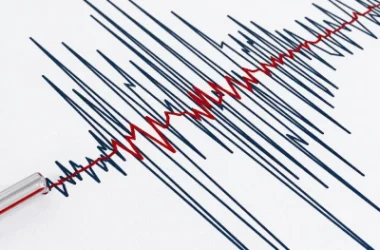
Yesterday's Earthquake Linked to Volcanic Centers in Javakheti
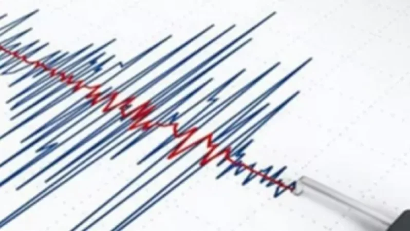
On September 10, at 20:22 local time, an earthquake with a magnitude of 4.8 was registered in the border area between Armenia and Georgia, 12 km southeast of the village of Bavra, at a depth of 10 km. The intensity at the epicenter was measured at 6-7 on the Richter scale. According to initial data, it was felt in the provinces of Shirak, Lori, Tavush, Ararat, Armavir, and the city of Yerevan.
As of September 11, at 05:00, more than 100 aftershocks ranging from 1.0 to 3.7 in magnitude had been recorded, which are relatively weaker than the initial quake, thus allowing for the conclusion that seismic activity is decreasing.
The earthquake is associated with the extensional zone of Javakheti (the volcanic plateau). The Javakheti volcanic plateau and its adjacent areas intersect with several active fault lines, which are linked to numerous historical and modern earthquakes. This extensional zone is characterized by young volcanism and a large number of weak to moderate earthquakes. The high seismicity in this area can be attributed to the presence of existing volcanic centers.
The Territorial Seismic Protection Service continues to carry out round-the-clock duty and seismic monitoring in accordance with the current regulations. Analysis of data from multi-parameter monitoring indicates that significant changes in the stress field are unlikely to occur. The seismic regime is under control. Further information will be provided regarding future developments.
Նմանատիպ հոդվածներ


Ավելին Incidents բաժնից
Ուժգին երկրաշարժ` Իտալիայում

ՏԵՍԱՆՅՈՒԹ․ Հրկիզված մեքենաներ, թալանված խանութներ․ Փարիզում զանգվածային անկարգություններ են

Երթևեկությունը կսահմանափակվի՝ Աջափնյակ վարչական շրջանում